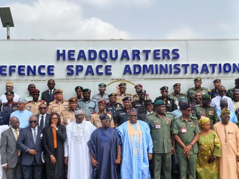
In a major strategic push to eliminate armed banditry, insurgency, and kidnapping, the Chief of Defence Staff (CDS), General Olufemi Oluyede, has directed the Defence Space Administration (DSA) to immediately extend its space-based intelligence, surveillance, and reconnaissance (ISR) support to military operations in the North-West and North-Central geopolitical zones.
The directive was issued on Friday, October 9, 2026, during a high-level operational briefing and facility tour at the Defence Space Administration Headquarters in Obansenjo Barracks, Abuja.
Addressing senior military commanders, space engineers, and intelligence directors at 10:30 AM, General Oluyede emphasized the critical need to leverage advanced geospatial technology and real-time satellite imaging to track criminal networks operating in rugged terrains across states such as Zamfara, Katsina, Niger, and Kaduna.
”Modern warfare relies heavily on technology, domain awareness, and precision actionable intelligence,” General Oluyede stated. “While satellite intelligence has yielded significant operational successes in the North-East, our joint task forces operating against bandits and terrorists in the North-West and North-Central regions must now be fully integrated into this real-time space asset network to ensure decisive outcomes.”
The Chief of Defence Space Administration (CDSA), Major General Philip Ilodibia, assured the Defence Chief that the agency’s satellite capabilities, including real-time imagery processing and communications infrastructure, are being re-aligned to meet the expanding operational directives.
Confirming the development in an official press statement released at 2:00 PM from the Defence Headquarters, Director of Defence Information, Brigadier General Tukur Gusau, noted that the integration of space-based assets into ongoing operations such as Operation FANSAN YAMMA and Operation SAFE HAVEN will significantly shorten the target acquisition cycle for field commanders.
The deployment of space-based surveillance is expected to provide precise terrain mapping, thermal tracking of hidden enclaves in remote forests, and secure tactical communications for front-line troops across both regions.